Results of Heritage Works


Public Transport Investigations
Learn about our archaeological investigations and discoveries from the Luas and proposed Metro line projects:
Archaeological sites discovered on Luas Red Line (Line A) include a prehistoric complex, an Early Christian souterrain, as well as some medieval activity at Ballymount, Co. Dublin, and post-medieval remains at Tram Street, Phoenix Street and O’Connell Street Lower.
There were no significant archaeological sites revealed on the Luas Green Line (Line B). Archaeological monitoring did, however, reveal such features as post-medieval limestone walls, a stone culvert and a refuse pit on St Stephen’s Green West, as well as basements and coal cellars associated with 18th- and 19th-century houses on Harcourt Street.
Learn more in Under the Tracks: A Slice Through Dublin's Past

A considerable amount of archaeological investigation was carried out prior to and during the construction of Luas Cherrywood (Line B1.) These works revealed three new significant archaeological sites, which were excavated by CRDS Ltd. A prehistoric habitation site was identified at Brennanstown, which produced numerous fragments of Late Neolithic/Early Bronze Age pottery and stone tools.
In the townland of Laughanstown, another prehistoric habitation site was revealed, producing similar pottery to the Brennanstown site. Radiocarbon dates suggest that the site was occupied sometime during the Bronze Age and Iron Age as well. Evidence of 18th-century military activity associated with a nearby historic military camp was also identified. In Murphystown, a medieval quarrying site was identified in the vicinity of the ruins of Murphystown Castle.

A programme of pre-construction archaeological testing was carried out in September 2008 by Headland Archaeology Ltd along the route of Luas Citywest (Line A1). The aim of the testing was to determine the presence or absence of archaeological features or artefacts and develop a programme of archaeological works to reduce any negative effects on identified archaeological remains in advance of construction.
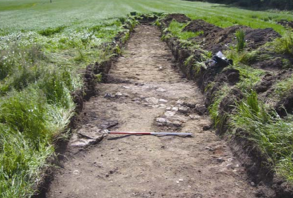
All excavation was carried out under the direct and continuous supervision of an experienced archaeologist (Liam Hackett of Headland Archaeology Ltd). Where it was considered that a potential archaeological feature was present, mechanical excavation ceased and the feature was cleaned back and tested by hand. No significant archaeological features or artefacts were identified during the testing.
Learn more in Luas Citywest: An Archaeological Landscape Brochure

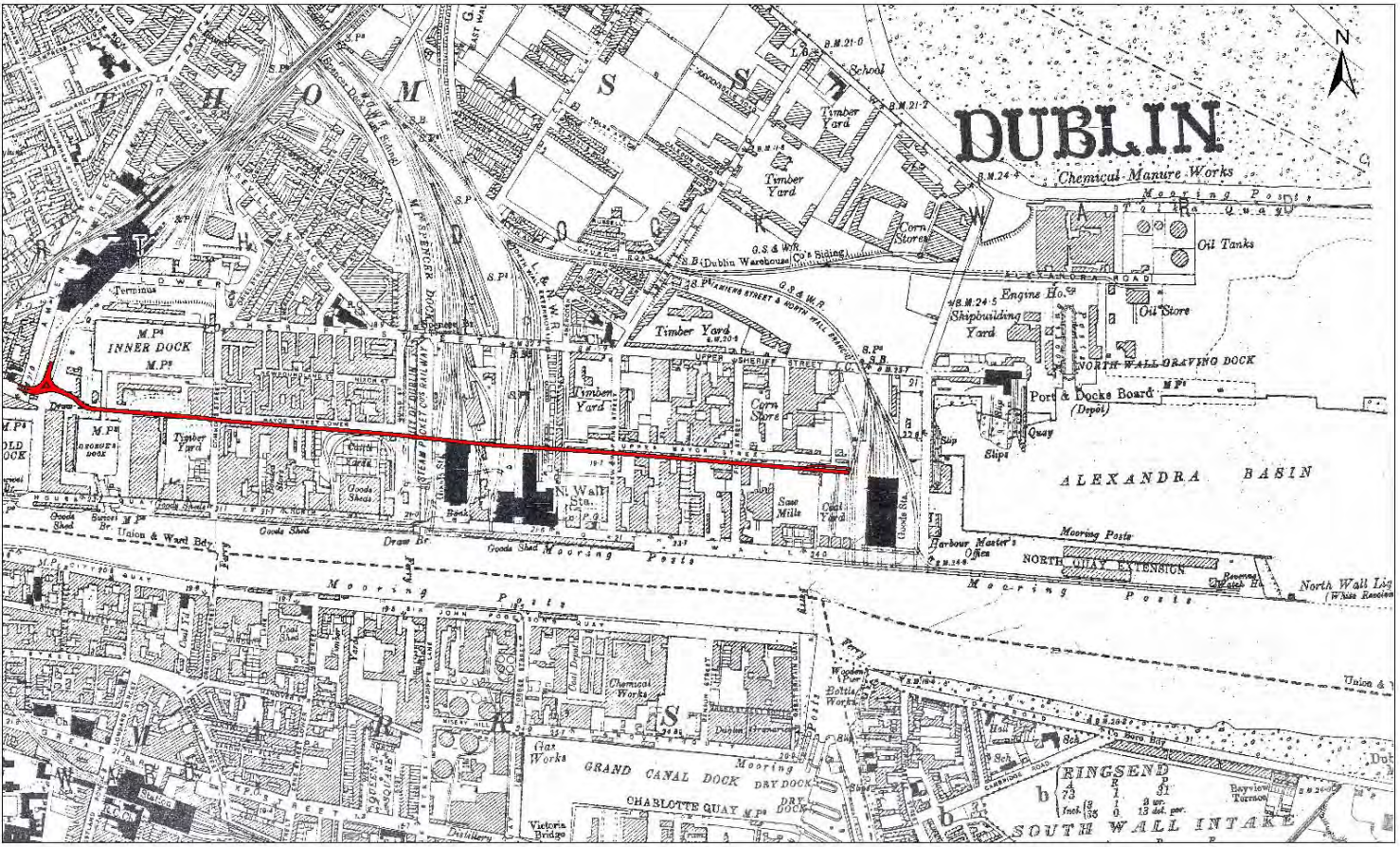
The construction of the Luas Docklands was archaeologically monitored by the Railway Procurement Agency Archaeology Team between March 2007 and April 2008. No significant archaeological finds or features were identified during the course of these works. Monitoring did, however, reveal some interesting post-medieval features such as building foundations, bricked-lined sewers and a plank-lined drain all dating from the 19th century.
In the vicinity of the CHQ building, wall foundations belonging to buildings depicted on 19th-century Ordnance Survey maps were uncovered and identified as a tobacco store and a whiskey store. These remains were reburied and preserved in situ as they were not directly impacted by the Luas line. The brick-lined sewers were observed at several locations on Mount Street Upper and Lower. In some cases, it was necessary to break through these sewers and reinforce them to prevent collapse. The plank-lined drain and a quantity of post-medieval glazed potsherds and two clay pipe stems were encountered at the site of an electrical substation at the Spencer Dock Stop.
In November 2009, McGovern Surveys conducted a condition survey at St Patrick’s Well, a historic site at Trinity College linked to the fifth century and mentioned in Jocelin of Furness’ 12th-century text Life of St Patrick. The site, restored in 1731, featured in Environmental Impact Statement (EIS) for the Luas Broombridge project. Additionally, archaeological testing by Headland Archaeology Ltd at the Broadstone Royal Canal in April 2010 uncovered canal structures and a possible slipway, while human remains were discovered at College Green, reported in Archaeology Ireland magazine in 2014.
The archaeological strategy for Luas Cross City (Line BXD) was shaped by Desktop Assessments covering Dublin City (St Stephen’s Green to Dominick Street) and Constitution Hill (Royal Canal: Broadstone Branch and Harbour). TII is overseeing mitigation as per the EIS, prepared by Headland Archaeology Ltd, which includes the documentation of over 380 Georgian cellars by Archaeology and Built Heritage Ltd. Rubicon is Heritage Ltd is monitoring ground works for GMC Utilities Group as part of the Utilities Works contract. Further measures outlined in the EIS will be followed during the main construction phase of Luas Cross City.

In November 2008 ,Target Archaeological Geophysics conducted a geophysical survey in nine areas along the route of Luas Bray/Fassaroe (Line B2) identifying potential archaeological sites, including a possible building and a fulacht fia in Old Connaught townland. Fulachtaí fia were prehistoric sites, mainly from the Bronze Age, where water was heated using fire-heated stones for various purposes such as cooking, bathing, or industrial tasks like dyeing and leather-working.
Further archaeological testing by Irish Archaeological Consultancy Ltd in September 2010 aimed to access the impact of the proposed Luas line on these sites. The investigation revealed that the suspected building was a modern configuration of land drains filled with red brick, but confirmed the presence of fulacht fia within the planned route. Reports from these surveys are available in the Archaeology & Heritage Library, although the Environmental Impact Assessment process for Luas Bray/Fassaroe is currently postponed.

A geophysical survey was carried out in February 2010 by J M Leigh Surveys for Irish Archaeological Consultancy Ltd (IAC Ltd) at three locations (Areas 1–3) within the Emerging Preferred Route corridor for Luas Lucan (Line F1). The geophysical survey results have indicated extensive disturbance probably originating from modern landscaping in Area 1, which is adjacent to King John’s Bridge. This disturbance may mask any potential archaeological remains. The possible remains of a demolished 19th-century house (Ballyowen House) have been identified in Area 2 and a possible boundary and other anomalies in Area 3.
The Environmental Impact Assessment process for Luas Lucan will commence shortly. IAC Ltd will prepare the archaeological component of the Environmental Impact Statement.

A Draft Archaeological Strategy was prepared for Metro North outlining measures to reduce and mitigate impacts on archaeological heritage in consultation with the Department of the Environment, Heritage, and Local Government. The strategy distinguished approaches for green field and urban/developed areas, including pre-construction investigations and archaeological monitoring. Comprehensive surveys and testing were conducted between 2008 and 2010, uncovering significant findings, such as potential enclosure sites in Belinstown and Fosterstown South and burnt mounds/fulachtaí fia features in various townlands. Ground-penetrating radar and geophysical surveys confirmed earlier structures like a continuous wall linking Lissenhall and Balheary Bridges.
Underwater surveys of the River Liffey and surrounding rivers identified historic features but no major archaeological materials. Urban testing along Metro North's proposed route revealed post-medieval features, including cellars, surfaces, and culverts. Reports from these investigations are housed in the Archaeology & Heritage Library.. A detailed archaeological excavation program is planned as part of the 2011 enabling works, focusing on sites impacted by the projects.

Advance archaeological investigations for Metro West included several surveys and tests to assess and mitigate impacts on cultural heritage sites. In June 2008, a geophysical survey by Target Archaeological Geophysics was conducted near St Brigid’s Well, Clondalkin, an early medieval site with pagan origins linked to St Brigid. Although this survey aimed to locate a children’s burial ground associated with the well, the results were inconclusive. Further archaeological testing in Merryfalls in June 2009 by Headland Archaeology Ltd uncovered the remains of an 18th-/19th-century structure known as the "Mad House."
Between October and November 2009, 64 geophysical surveys along the Metro West route identified potential settlement sites at Kildonan, Merryfalls, and Silloge. Testing in 2010 revealed significant finds: a subrectangular enclosure and kilns at Kildonan, a possible early medieval ringfort at Merryfalls, and an undated subrectangular enclosure at Silloge, potentially linked to a medieval field system. Should the project be approved, mitigation strategies from the Environmental Impact Statement will be applied during all project phases.
Learn more in the full reports, available in the Archaeology & Heritage Library.
Road and Greenway Investigations
While the TII Digital Heritage Collections contain extensive data, not all schemes have been uploaded. In the event that you cannot access a particular report, please contact archaeology@tii.ie